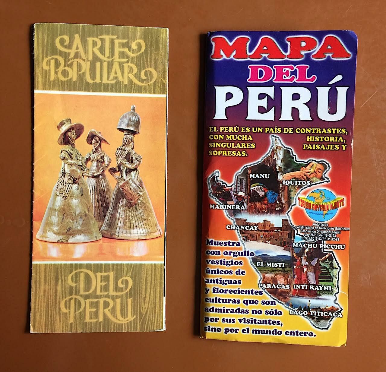
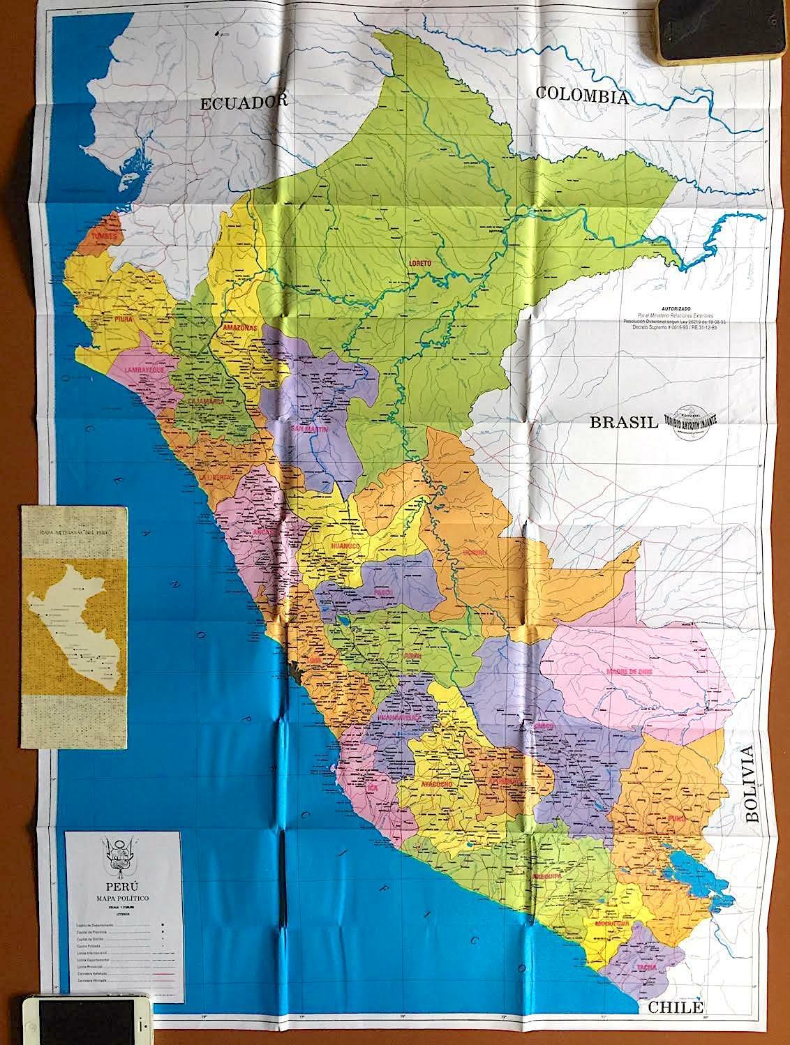
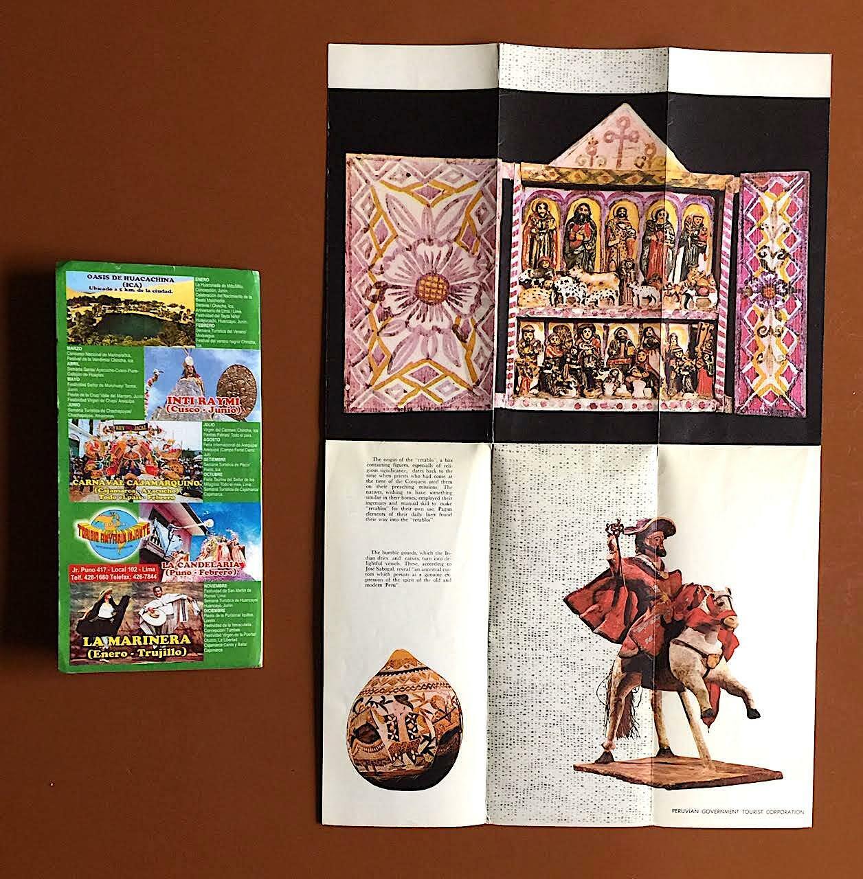
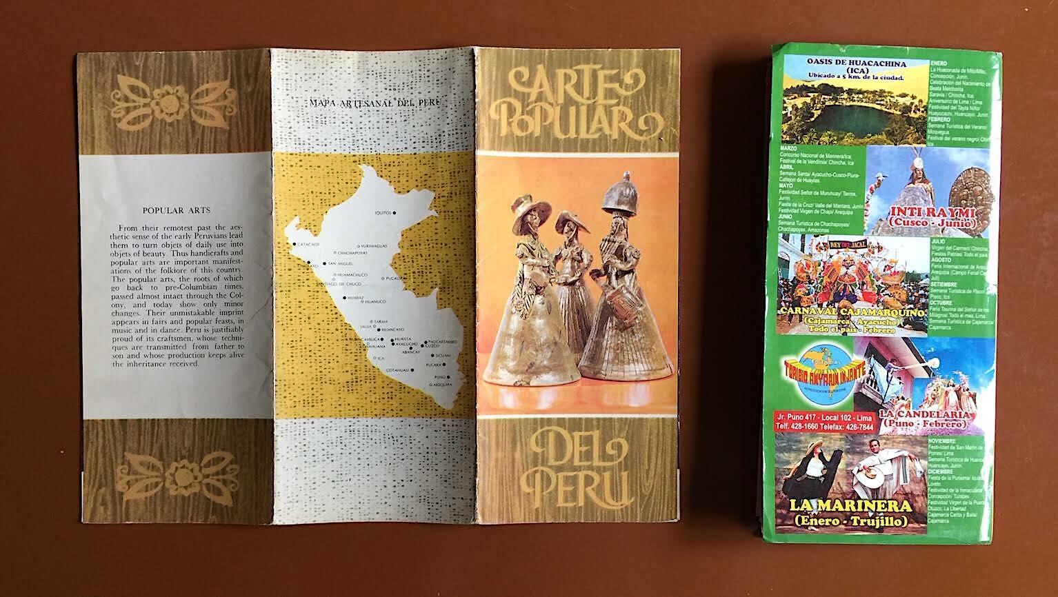
Includes a colorful, large foldout political map of Peru, the South American country of 35 million people on the Pacific coast, home to ancient Inca ruins (Cusco, Machu Pichu), vast Amazon rainforests, the world’s highest navigable lake (Titicaca) and a gleaming modern metropolis of 11 million (Lima). Map shows major highways and railroads, as well as delineating all 26 of the nation’s departments and provinces (from Toribio Anyarin Iniate, 1993, in Spanish); and a colorful six-panel vintage foldout brochure for “Arte Popular Del Peru”, featuring pre-Columbian, colonial and present-day folk art from this multi-ethnic society (from the Pruvian Government Tourist Corporation, circa 1965).
60%
Map, Vintage Travel Brochure for Peru
$10.55 Original price was: $10.55.$6.33Current price is: $6.33.
Meta:
Region of Origin : South America
Condition : Items are in okay condition.
Type : Map, Vintage Brochure
Modified Item : No
Country/Region of Manufacture : Peru
Handmade : No
Condition : Items are in okay condition.
Type : Map, Vintage Brochure
Modified Item : No
Country/Region of Manufacture : Peru
Handmade : No
Related products
-
Vintag Rio Travel Brochure
$6.59Original price was: $6.59.$3.95Current price is: $3.95. -
Argentina Lot of Vintage Travel Brochures
$10.56Original price was: $10.56.$6.33Current price is: $6.33. -
NORMANDIE Superb brochure with CUT AWAY DIAGRAM
$440.00Original price was: $440.00.$264.00Current price is: $264.00. -
Vintage Pomo-Green Insecticide w/ Nicotine Brochure
$17.59Original price was: $17.59.$10.55Current price is: $10.55. -
1960's Caracas, Venezuela Travel Tourist Brochure Map
$13.46Original price was: $13.46.$8.07Current price is: $8.07. -
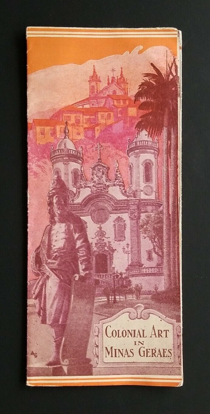
Brazil "COLONIAL ART IN MINAS GARAES" Vintage Brochure
$6.99Original price was: $6.99.$4.19Current price is: $4.19. -
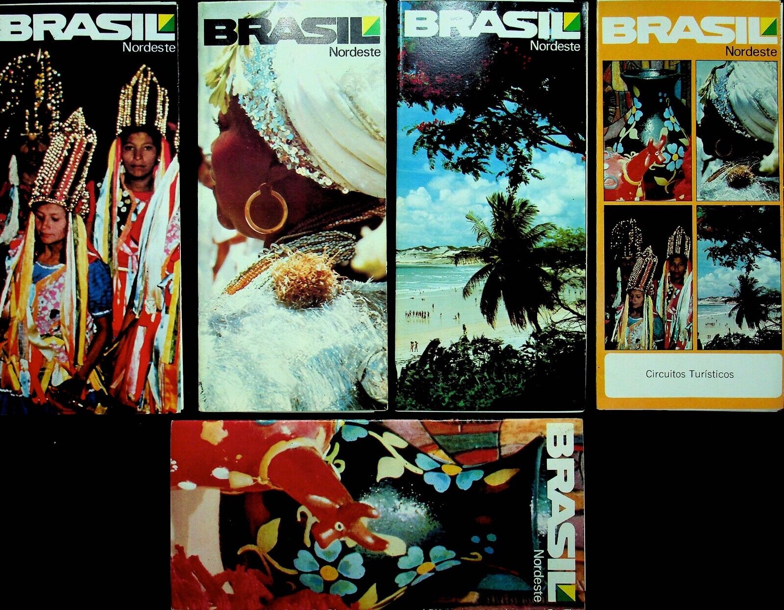
FIVE Brazil Vintage Spanish Travel Brochures – E9H
$42.68Original price was: $42.68.$25.60Current price is: $25.60. -
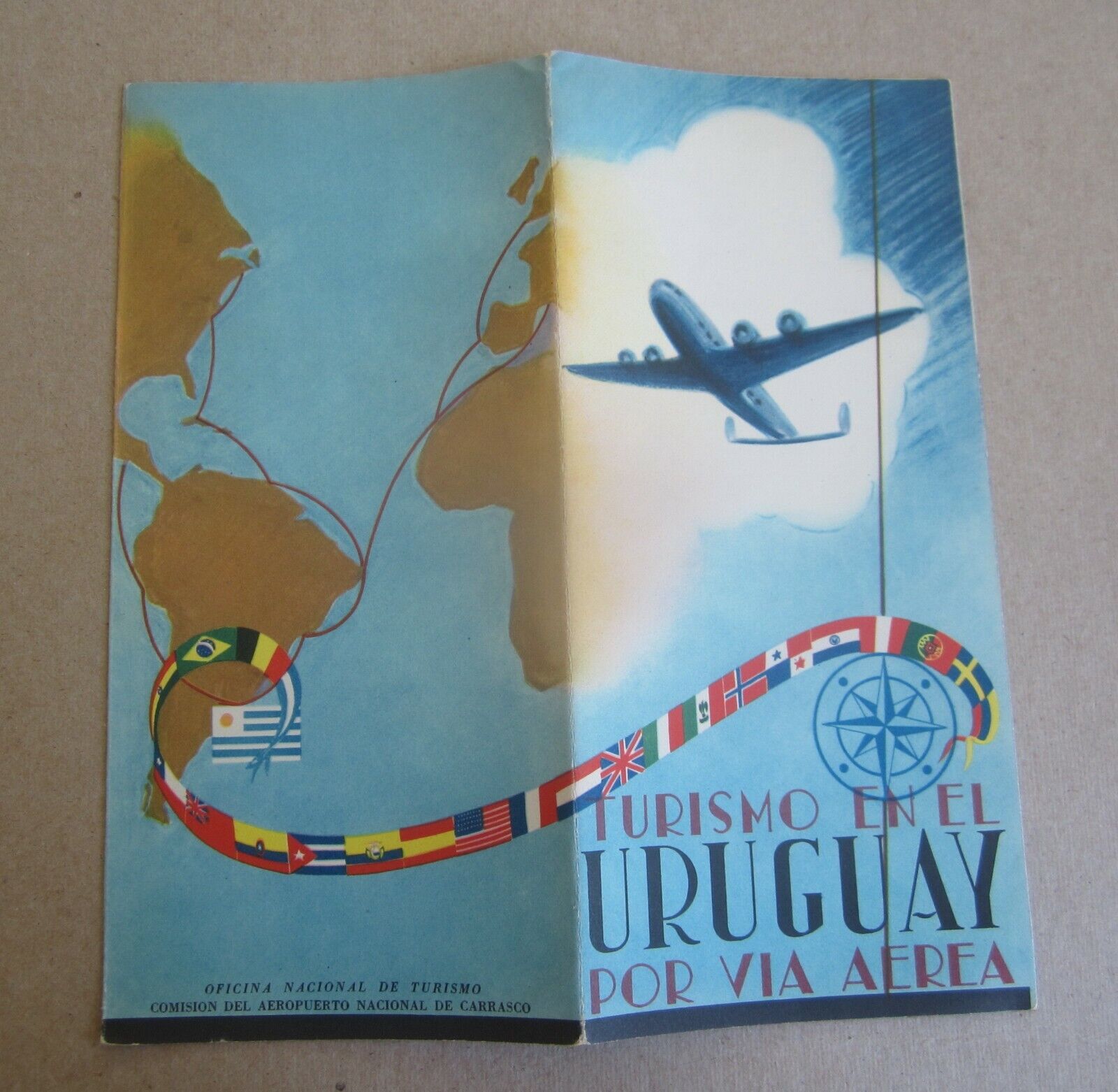
Old Vintage – Tourism in URUGUAY – by AIRPLANE – Travel Brochure
$7.91Original price was: $7.91.$4.74Current price is: $4.74. -
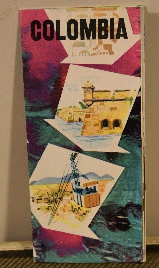
COLOMBIA Empresa Colombiana De Turismo Travel BROCHURE Lithograph
$6.60Original price was: $6.60.$3.95Current price is: $3.95. -
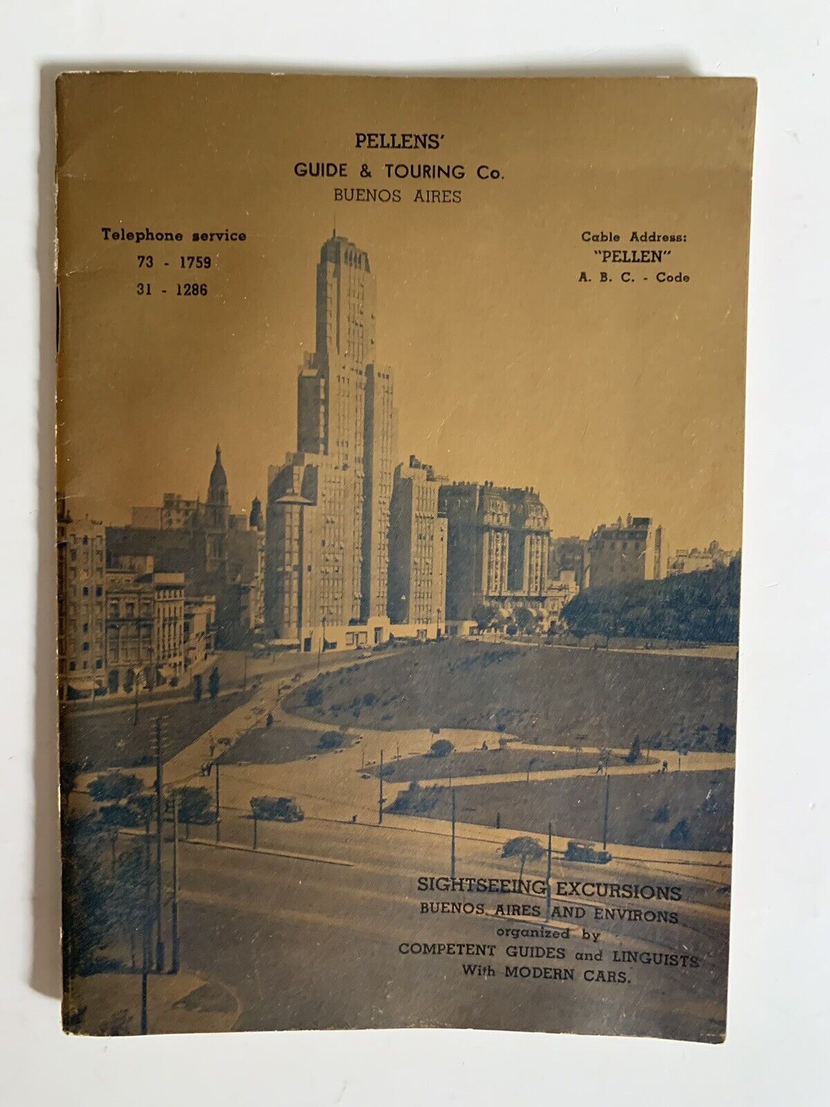
Vintage Buenos Aires Argentina Tourist Brochure Guide Advertising
$8.79Original price was: $8.79.$5.27Current price is: $5.27. -
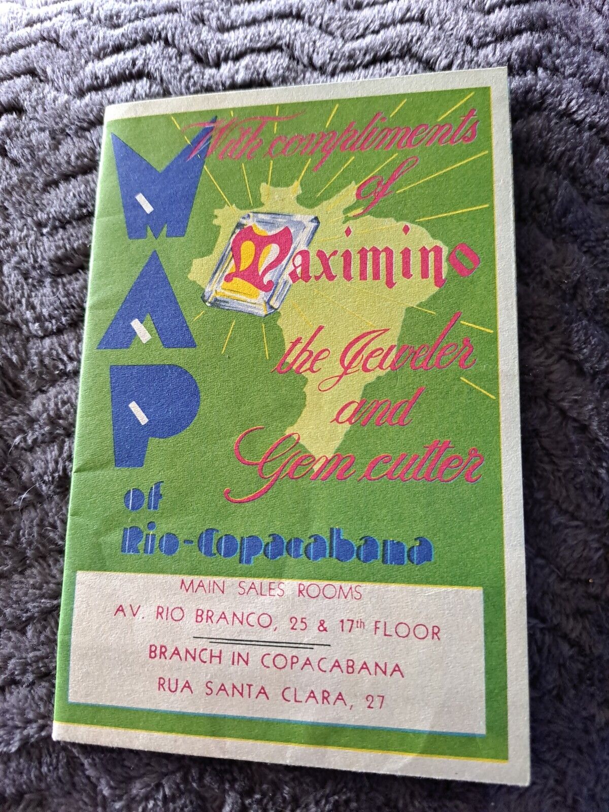
Vintage 1960s Maximino Gem Jewelry Rio Brazil Travel Brochure
$3.52Original price was: $3.52.$2.11Current price is: $2.11. -
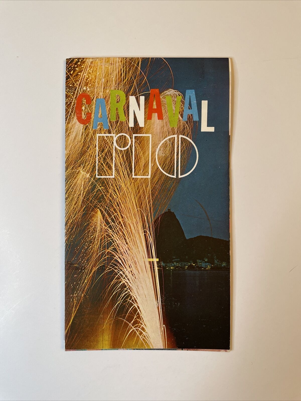
Excellent 1968 Rio Carnaval Travel Brochure – Brazil Carioca Tourism
$12.63Original price was: $12.63.$7.58Current price is: $7.58. -
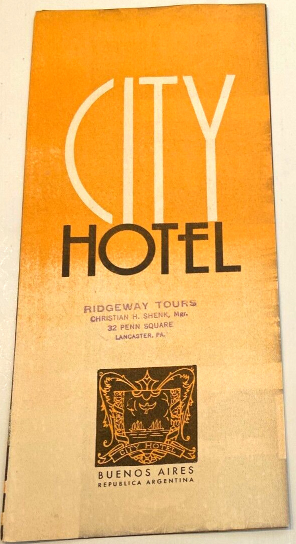
CITY HOTEL BROCHURE BUENOS AIRES ARGENTINA vintage 1930-40s
$5.23Original price was: $5.23.$3.14Current price is: $3.14. -
VINTAGE 1930 – 1940s RIO DE JANEIRO BROCHURE SOUTH AMERICA
$5.23Original price was: $5.23.$3.14Current price is: $3.14. -
Lego 60s Train Wagon Built As Picture Of Lego Brochure Vintage 60s
$22.58Original price was: $22.58.$13.55Current price is: $13.55. -
Lot of 1950's Kingsley Hot Foil Stamping Machines Instruction Manual Brochures
$35.16Original price was: $35.16.$21.09Current price is: $21.09. -
HYUNDAI SONATA ACCESSORIES Brochure 1989: Interior Trim, Exterior Kit, Wheels,
$6.47Original price was: $6.47.$3.88Current price is: $3.88. -
1965 Chrysler New Yorker Dealership Showroom Advertising Sale Promotion Brochure
$19.35Original price was: $19.35.$11.61Current price is: $11.61. -
70 Dodge Monaco Dealership Showroom Advertising Sale Promotion Brochure Catalog
$20.38Original price was: $20.38.$12.22Current price is: $12.22. -
1984 Dodge Truck Dealership Showroom Advertising Sale Promotion Brochure Catalog
$20.38Original price was: $20.38.$12.22Current price is: $12.22.


